Friday Night - Cloudy with rain. Low:36-40
Saturday - Partly cloudy. High: 52-56
Saturday Night - Overcast. Low: 40-44
Sunday - Partly cloudy. High: 62-66
Monday - Partly. High: 72-76
Discussion:
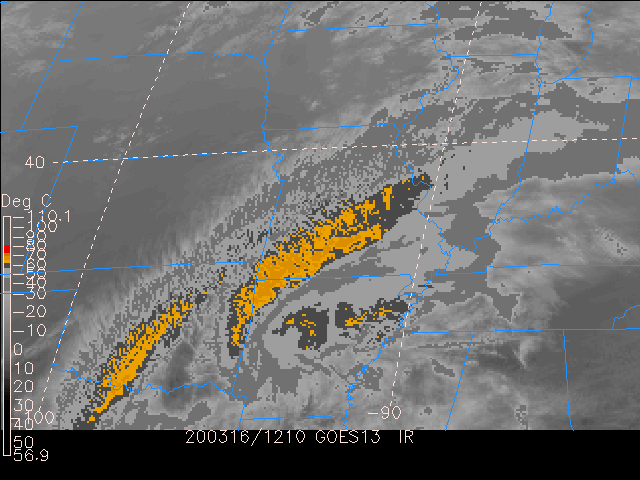
Rain is expected Friday night from about 6pm until midnight. This rain should be the
only precipitation expected to fall during the forecast period. Clouds will be sticking
around for the rest of the weekend, never fully clearing. Lower level clouds should be
expected due to the moisture at the lower levels. Temperatures will be warming
throughout the weekend into the week, due to winds coming from the south.
===========================================================================================
Forecasters: Balkissoon, Savoy, Heaven, Munley
Issued: 5:00pm: April 3, 2020
Technical Discussion (The nerdy stuff we are discussing in class)
WPC suggested a GFS/ECMWF blend for this forecast period so as a group,
we decided to go with GFS. SREF plumes were also used during this forecast
period to help verify temperature and precipitation amount.
we decided to go with GFS. SREF plumes were also used during this forecast
period to help verify temperature and precipitation amount.
From the 250-hPa divergence map, we note that at 18Z (the time of our current
forecast), we sit north of the jet. This can account for our lower temperatures
that we are experiencing now. As we move through the weekend, however,
there are no significant periods where upper level divergence was noted. Hence
the upper levels in the atmosphere did not show conditions conducive for
precipitation at the surface.
From the 500-hPa vorticity and heights map. Currently, a low pressure system
is noted to be situated to the NW of our forecast region and there is a shortwave
ridge that has moved past us. Stepping through the weekend, the flow is relatively
zonal with no significant circulation. However, it is worth mentioning that there is a
low coming in from the Pacific which is not yet matured. This positively tilted trough
should be monitored by future forecasters as it may affect our weather in the coming
days ahead.
Next, we move down to 700-hPa relative humidity and omega maps. We noted at
18Z we have high RH values (%80-%100) but as we move on into the weekend,
RH continues to decrease. We did note significant moisture off to our south, but it
should not be influencing us during our forecast period. Looking at omega we noted
smaller values at 18Z that continue to increase into 21Z, during this period we are
expecting some rain. After this rain however, values decrease into the weekend and
do not increase again in our forecasting period. This was also supported with GFS
skew-T analysis.
At 850-hPa we looked at temperatures but unfortunately could not load winds to help
verify what we’re looking into. We have temperature remaining consistently above
freezing with a nice warm up throughout the weekend into the beginning of the week,
starting in the mid 50’s and reaching in the mid/lower 70’s by Monday afternoon. We
do believe this warm up is due to the low coming off the west coast, as mentioned
earlier but could not verify without wind to check for warm air advection.
No comments:
Post a Comment