Friday Night - Decreasing clouds. Low: 30-34
Saturday - Clear. High: 60-64
Saturday Night - Partly cloudy. Low: 46-50
Sunday - Overcast with mid day rain. High: 60-64
Monday - Clear. High: 62-66
Discussion:
This Friday night will remain cooler after the passage of a cold front early Friday morning,
but as that front moves out and a high pressure system moves in, things will begin to
warm up. Clear skies will follow, making the start to the weekend very nice. However, we
do have a small system moving in giving us the possibility for rain midday Sunday, but
that will be short lived as it is expected to move out, making way for clearer skies into Monday.
===========================================================================================
Forecasters: Balkissoon, Savoy, Heaven
Issued: 5:00pm: April 17, 2020
Technical Discussion (The nerdy stuff we are discussing in class)
For our model forecast, we looked at both plane view products as well as skew-T from
NAM and the SREF. This was done after consulting the WPC Model Diagnostics which
places the NAM, ECMWF and UKMET as the model preference with slightly above average
confidence.
NAM and the SREF. This was done after consulting the WPC Model Diagnostics which
places the NAM, ECMWF and UKMET as the model preference with slightly above average
confidence.
We started things off by looking at 250hPa winds. We noticed the upper level jet core
positioned over us Friday and making its way out Saturday afternoon. With this we have
a ridge over us in Missouri which is coming off of a negatively tilted trough. Winds from
the west, at the upper most level, will be influencing our weather throughout the forecasting period.
positioned over us Friday and making its way out Saturday afternoon. With this we have
a ridge over us in Missouri which is coming off of a negatively tilted trough. Winds from
the west, at the upper most level, will be influencing our weather throughout the forecasting period.
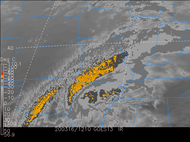
At 500 hPa we see a neutral trough off the west coast, which will impact us later in the
forecasting period, as well as a negatively tilted trough coming in from Northwest Missouri.
This system will pass by Saturday bringing along high values of vorticity but at this time we
lack moisture and lift for anything to happen. After this system passes through we will remain
zonal until the trough from the west coast arrives late Saturday night/Early Sunday morning.
With this we will be seeing high vorticity values, along with saturation and lift. During the period
of 17Z-20Z will be expected time for all three rain necessities to line up, bringing down close
to half an inch of rain.
From the 700hPa-RH and vertical velocity maps, we note that regions of significant vertical
velocity in our domain clears out as the flow becomes more zonal on Saturday at 0Z and
comes under a ridging effect on Saturday at 21Z. Vertical velocity is noted downstream of
the trough, east of us, where there is PVA. Sunday at 3Z however, we come under the
influence of a positively tilted trough west of us and as such downstream of the trough
axis, we note significant lift over our region. By Monday 0Z this clears up. Comparing the
RH values at these times, we do note that there is a high percentage of RH values over
our region on Sunday at 3Z through Monday. However, we believe there are no rain chances
on Monday because throughout the day, there are no high omega values noted. We consulted
the skew-Ts to further investigate rain chances for Sunday however, to no avail; whilst there
were soundings such as Monday 0Z which showed low level clouds there were no associated
vertical velocity to accommodate the chances for precipitation.
From the 850 hPa - winds and temperature maps. It was observed that our colder
temperatures today are because winds are blowing colder air from the north into our region.
We get warmer temperatures on Saturday into Sunday as there is a shift in winds, in which
warmer temperatures from the south- west are advecting into our domain.
temperatures today are because winds are blowing colder air from the north into our region.
We get warmer temperatures on Saturday into Sunday as there is a shift in winds, in which
warmer temperatures from the south- west are advecting into our domain.
Great to have a beautiful Saturday just as you forecasted! Thanks for continuing to bring us weather forecasting during
ReplyDeletethis disruptive time. The details posted also give me insight into how intricate the task is of predicting the weather. Keep your weather forecasts coming!!